
 little technique to create terrains for use in game. Sometimes, we need to create game spaces with: mountain, plain, valley, river… the environment where our game scenes take place. It could be a labour – intensive task unless we can make use of the existing geographic data. Some games like Flight Simulator have the scenes modelled exactly after the real world.
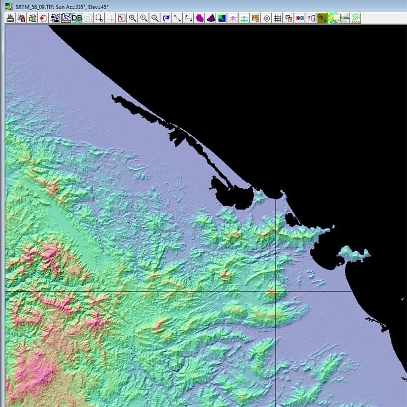
First, we would need a topographic map, typically the height – contour map used in artillery. Nowadays, the SRTM and ASTER GDEM projects provide these data for free in digital format. They are satellite (radar) images of the earth surface with resolution upto 90m for SRTM and 30m for ASTER GDEM. I would recommend the ASTER GDEM for its higher resolution. Go to the site, follow its complicated registration process to download the data via NASA’s ftp server.
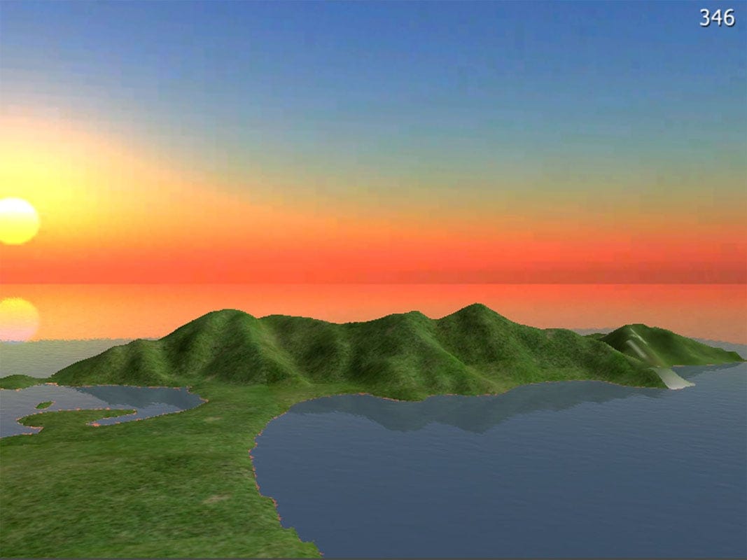
The downloaded data would be Zip packages with height info in GeoTIFF format. Next, we would use this MicroDem utility to convert it into PGM, an intermediate format that can be read by Photoshop (or GIMP). Then we save it as heightmap (PNG or TIFF format) which can be imported into most game editors. By now, the terrains are recreated exactly as they appear in our real geographical world. Just apply textures, lighting, water and other stuffs then to make it look good!
Images on the left: 1. topographic data as rendered by MicroDem, 2. heightmap (grayscale image) as viewed by Photoshop, 3. the terrain created and roughly decorated (a low – poly version), here is the Sơn Trà peninsula (or les vallées de mon coeur
😀), the shape, the silhuette that’s long been in my heart!